Washington Valley Trails and Mt. Washington – NH
The tallest mountain in the northeastern state of New Hampshire, at 6,288 feet, Mount Washington (or Agiocochook, as it was then called) was first climbed in 1642 by Darby Field and two native guides, but it wasn’t until 1853 that the first summit house was built. A year later, the Tip Top House was built, which survives to this day. For the less resistant, Carriage Road and a 3-mile cog railway were built; engineering feats that would be considered difficult even in these modern times. The cog railway reaches the summit from the west and the road from the east.
South of the peak is AMC’s Lakes of the Clouds cabin. At the base of the east side is AMC’s Pinkham Notch Visitor Center.
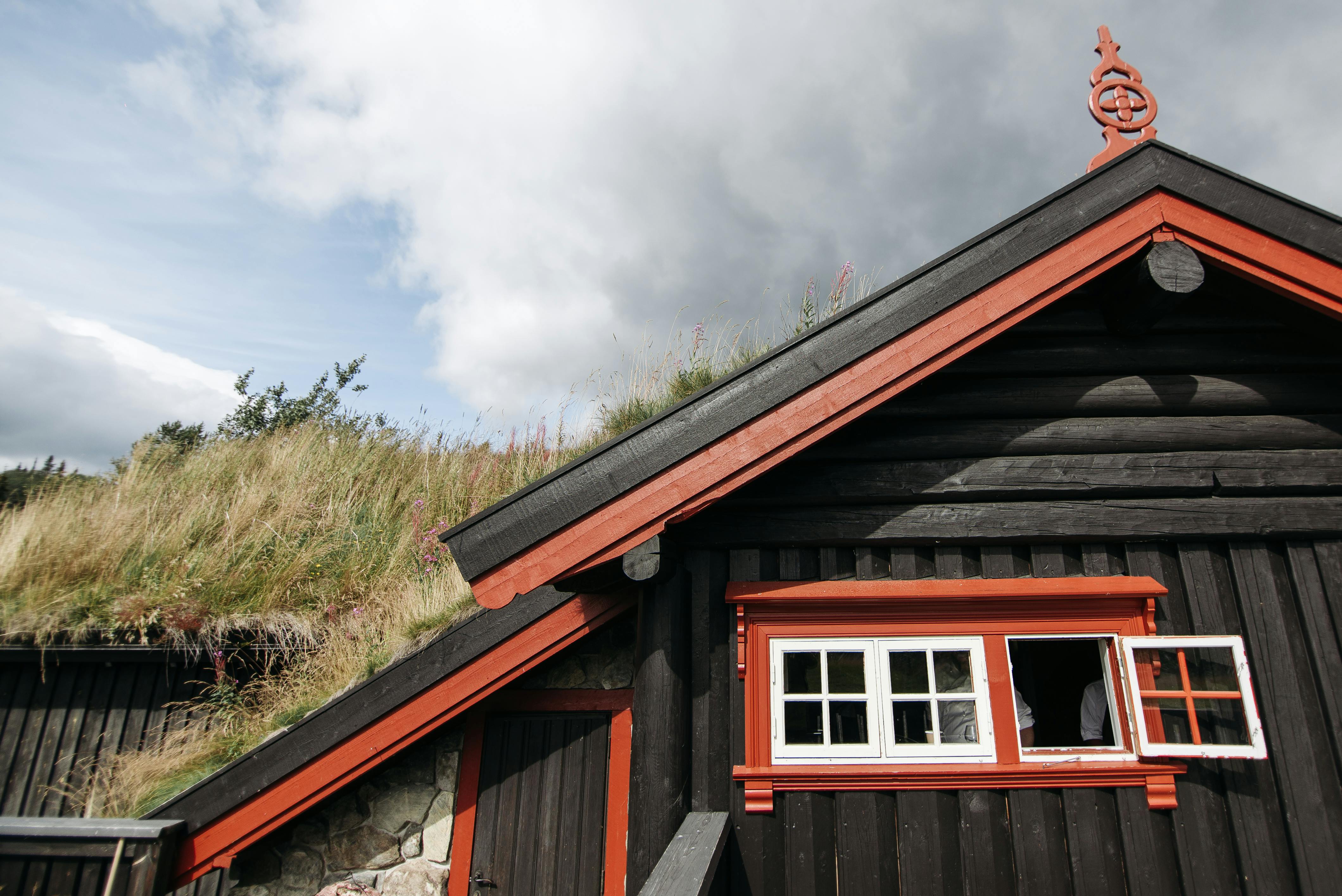
The summit is covered by several buildings, including the Sherman Adams Visitor Center, radio and television antennas, the Yankee Building, and the Mount Washington Observatory. 231 MPH on April 12, 1934. It is known for having the worst weather in the world, especially bad in the winter. There are many memorials to hikers who have died on the mountain, including one to Lizzie Bourne, who died while trying to walk to the top, dressed in typical Victorian clothing. During the summer months, there is a café, museum, pay phone, gift shop, and even a working post office. In winter, there is no access to any of the buildings. The Observatory has meteorological observers throughout the year.
There have been several hotels on the summit. The original Tip-Top House was a simple stone building with a wooden extension. Later, a luxurious wooden hotel was built, directly connected to the Railway. It burned down and a new, simpler hotel was built in the early 20th century. In recent years the wooden extension of the Tip-Top House has been removed. You can tour the interior of the Tip Top House during the summer months.
On the east side of the mountain there are three main ravines;
The Great Gulf, said to be the largest of the glacial erosion cirques in the Presidential Range, with impressive cliffs!
Tuckerman, which is famous for its late spring skiing.
Huntington: A playground for rock and ice climbers.
On the west side, the Quebrada Ammoonosuc dominates. just south of
Lakes of the Clouds, is Mt Monroe, and just to the north is Mt Clay, and a little further on, Mt Jefferson.
Hiking Trails Mount Washington Valley
There are many options for hiking to the top of Mount Washington. The most popular routes start at Pinkham Notch, on the east side of the mountain. Climbing from the east means you are protected from the usual strong north and west winds for most of the hike. The main route is via the Tuckerman Ravine trail (4.1 miles) which goes directly from Pinkham to the top.
On the south side of the ravine is the Boott Spur Trail (5.4 miles) and on the north side is the Lion Head Trail (4.5 miles). Both are slightly longer than Tuckerman Ravine but also easier on the knees. The Huntington Ravine Trail (5.1 miles) branches off the Tuckerman Ravine Trail and climbs the bare slabs of Huntington Ravine. This is probably the hardest trail.
in the White Mountains, and should not be attempted in bad weather or used for descending. From there, people often take the Alpine Garden trail to Tuckerman Junction and continue to the top from there.
From the west side of the mountain, starting near the Cog Railroad’s Marshfield Station, there are two routes:
The Barranco Ammonoosuc trail (3.9 miles) starts at a parking area just below the Cog parking lot and goes up to the Lagos de las Nubes cabin. Hikers continue along the Crawford Path to the summit.
The Jewel trail (4.6 miles) leaves from the opposite side of the Cog Railroad parking lot (park at the Ammonoosuc Ravine trailhead) and heads up to the ridge where it joins the Gulfside trail.
Trailheads.
Pinkham Notch Visitor Center – Take Route 16 north from North Conway, located about 10 miles north of Jackson. Parking in the main lot does not require a WMNF parking pass, parking in the overflow lots does. There are restrooms, coin-operated showers, food, some equipment, and public phones. Accommodation is available with reservations.
Ammonoosuc Ravine – From Route 302 in Bretton Woods, take the base
Go 6 miles to the trailhead parking area on the right, just before the Cog Railroad. A WMNF parking pass is required.
Before you even start your hike, I recommend you take a look at the Mt. Washington Observatory’s daily weather report.
for an updated report from above. For some simple tips on how to prepare for your trip, visit our safety tips page below. Although there are references to UK routes, the basic information still applies!
Have fun, test your stamina but be careful!